 While you are awaiting your vacation (Part 2)
(or how to create an interactive map for your travel using your own custom image)
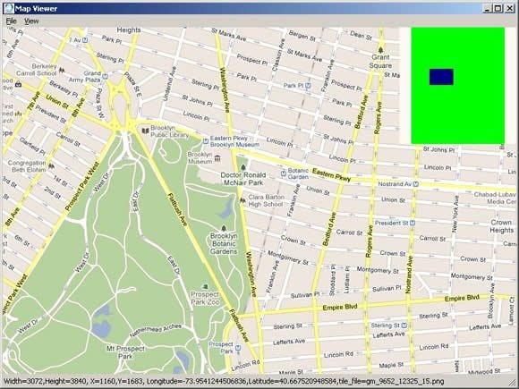
Most of us would like to enjoy the best days of our holidays stress-free and without wasting any time or money. Your vacation may have already turned out twice as expensive as you originally thought it would be; all because of expenses like accommodation, tickets, entertainment, food & drink, as well as excursions, souvenirs, books, and other little things which you need on your travel. Additionally, you might run into time problems after visiting some places, finding out that you didn't expect your trip to take so many hours. Or you may happen to visit a restaurant on your way and end up really disappointed by the food quality there.Fortunately, there are many ways to avoid wasting time and overspending, so that you can enjoy your really great vacation time. One of the ways is creating your individual travel map with placemarks of your favorite locations.The first idea which comes to mind is using the popular Google Maps project. (http://maps.google.com/) You can just install any special downloader on your PC such as “Google Maps Downloader†by AllAllSoft.com, find your preferred location and easily print it to add the necessary marks with a pen later on.
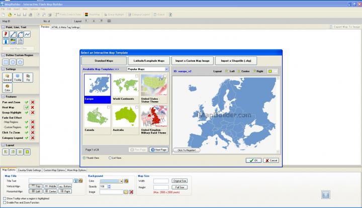
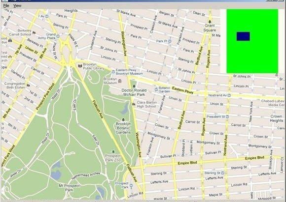
Google maps provide you with street maps, a root planner for traveling by foot, car or public transport; but it also has some disadvantages, such as satellite images not being updated for several months or even years. It also lacks coverage of some areas because of clouds or for security reasons.But there are many more interesting possibilities of creating your map. Today you can find a lot of virtual mapping projects published on the Internet.One of the simplest and most impressive in terms of features is “iMapBuilder†by iMapBuilder Interactive Map Software.Apart from using map templates, you can also import your own map images into this incredible software and edit them as you wish.For example, let's try preparing to a three-day trip to the Northern capital of Russia – splendid Saint Petersburg.Once the software is downloaded and installed on your PC, you can select whether you want to use one of the templates, or select one of your own images.
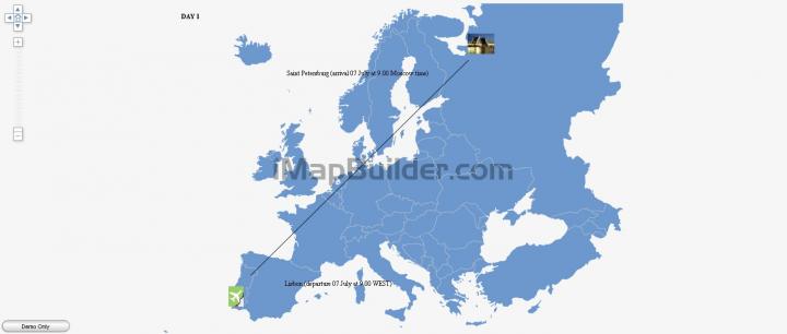
Let's first select one of the program's included maps, add a point, a picture and a comment. That's what you can see about your arrival time after the image is exported to a folder on your hard disk:
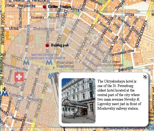
After that, we will import a city map in JPG, GIF or PNG format and point the hotel location. It is possible to add an info box with an image on our map.After you've settled in your hotel and had a rest, you can't wait to start walking through the city and take your first photos of the best sights. So you just add some points, logos, route lines, and info boxes to your map. You can also add information about the restaurants with the best food and prices located close to your route. To avoid disappointment, you can read feedback of other people who visited the city's cafes and restaurants and pick only those places that maintain good reputation.
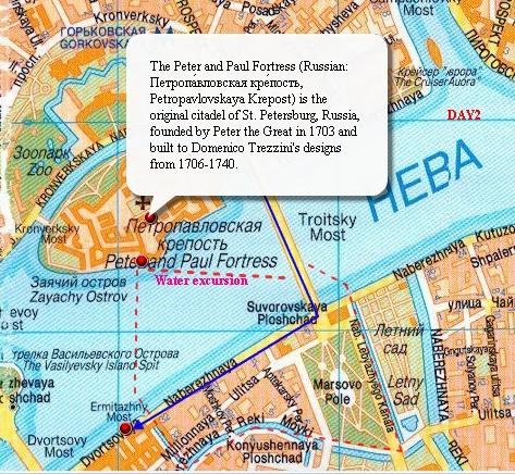
This is also important in regard to the museums you would like to visit, as well as water trips. As you may know, Saint Petersburg has more than 40 big and small islands and there are a great lot of possible routes for water excursions. On the image below you can see one of the possible starting points for your trip.
No visit is full without a trip to Petergof with its world-famous fountains, palaces and parks. Even if you don't like regular bus excursions with a monotone-speaking guide, you can try going to the suburbs all by yourself. And your map will be your indispensable guide and assistant.
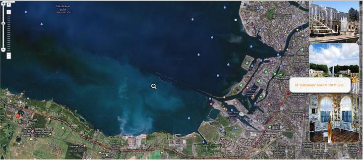 Day3. Trip to Petergof
Finally, if you don't have Windows, you can try creating your maps using the online ImapBuilder service: http://www.imapbuilder.com/interactive-map-online/After you're done, just save your resulting images on your mobile phone or print them as your travel guide book.
